NDFD Conus (National Digital Forecast Database)
| Provider: | National Weather Service, NOAA (USA) |
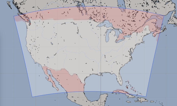
| Model scope: | North America |
| Update frequency: | hourly |
| Resolution: | 1.3nm, 2.5km |
| Model duration: | 43 forecasts starting at 0 hr, ending at 7 days |
| Parameters: | wind, wind gust, rain, cloud, temperature, wind wave, other |
| GRIB model date: | Fri Apr 26 00:00:00 2024 UTC |
| Download date: | Fri Apr 26 00:15:29 2024 UTC |
| Download delay: | 0hr 15min |
Note: the Download delay is the amount of time required for the GRIB model to compute its forecast and then for the LuckGrib cluster to download the data and make it available. The LuckGrib delay is generally less than 10 minutes, the remainder of the delay is the model compute time.
Description
NDFD is unique in being a forecaster guided ensemble of models. The NDFD is not a pure computer generated simulation, rather there is an actual person in the loop generating the results in this model.
One of the main disadvantages of most GRIB forecast data is that it is purely the result of a computer simulation, produced without human intervention or review. Contrast this with the effort that goes into the creation of a NOAA surface analysis chart or any of the official weather forecasts - a meteorologist, or group of meteorologists, will consider all the different GRIB models available as well as other sources of data and then apply their considerable skill in choosing among all the available information to create their forecast.
NDFD is created by these professional forecasters. There are many different forecast offices responsible for different areas, and all of these offices will transmit their analysis and forecast data to NDFD where it is assembled into a moasic, and then made available through this NDFD GRIB model.
Amazing, right?
(In the following quote, NWS is the U.S. National Weather Service.)
What is the NDFD?
As the foundation of the NWS Digital Services Program, the National Digital Forecast Database (NDFD) consists of gridded forecasts of sensible weather elements (e.g., cloud cover, maximum temperature). NDFD contains a seamless mosaic of digital forecasts from NWS field offices working in collaboration with the National Centers for Environmental Prediction (NCEP). The database is available for members of the public to use in creating text, graphic, gridded and image products of their own. …
– [NDFD Home Page, link no longer available]
Parameters
Here is a quick summary of a few key points:
Mean sea level pressure is not available. This is a little unfortunate. It appears that professional forecasters rely on a deeper understanding of the three dimensional nature of weather systems - sea level pressure isn’t a very important parameter for them. I, like many sailors, would like to see sea level pressure. Oh well.
Not all of the paramters are available through the entire forecast period. For example, wind gust’s and rain are only available for the first three days.
NDFD wind direction has a limit to its precision of 10°, it uses 36 points of the compass in its definition.
The original source for this data are GRIB files at the NDFD site at NOAA. Those GRIB files indicate that the wind is at the surface. However, the wind is documented as being at 10m and this has been verified through contact with a person in charge at NDFD. The LuckGrib server adjusts the wind level to be at 10m, where it appears to belong.
The times that each parameter is valid do not always line up. When working with this data you should get used to the data being more spread out across the LuckGrib timeline
Additional Information
For additional information, see: