NDFD Oceanic (National Digital Forecast Database)
404 Not Found
Note: the Download delay is the amount of time required for the GRIB model to compute its forecast and then for the LuckGrib cluster to download the data and make it available. The LuckGrib delay is generally less than 10 minutes, the remainder of the delay is the model compute time.
Description
Note that this model is no longer available. Use NBM Oceanic instead.
Please read the NDFD Conus page for a description of the National Digital Forecast Database.
The Oceanic NDFD model differs from the Conus model in several ways:
Only the wind, wind gust and significant wave height parameters are available
This data set is updated every 6 hours. (Conus is updated hourly.)
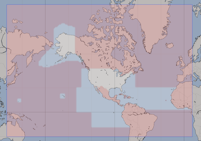
This data is available across a much wider area of the oceans adjacent to North America, making it more suitable for sailors who are sailing outside of the coastal waters. The CONUS model has sufficient coverage in coastal waters, and with its increased resolution and more frequent updates will be the preferred coastal model.
The Mercator grid and a note on model resolution
In GRIB-2, GRIB data can be defined in a wide variety of different grids. These grids define the projection from points in the file to latitude/longitude points on earth.
The NDFD Oceanic model uses the Mercator projection in its grid definition. The use of the Mercator grid for this data set has some interesting properties.
You will recall that the Mercator projection, as used in the majority of map projections, seems to elongate distances at higher latitudes. By using the Mercator projection grid in the GRIB data, the points end up evenly spaced in the final projection, at all latitudes.
To see this, download a file of the entire NDFD Oceanic domain and then zoom into the data and scroll north and south. The grid spacing you see will be constant. A consequence of this grid spacing is that the resolution of the model improves as you increase latitude.
The nominal resolution of this model is 10km, this is the resolution published at this site as well as at the NDFD site. However, the actual local resolution around San Francisco is approximately 8km. Seattle has a local resolution of around 7km. Alaska is down to approximately a 5km resolution.
LuckGrib is one of the very few GRIB viewers that will show you the data in its original grid. Most of the GRIB viewers will either not be able to display this data in its native form, or will convert it to a simple latitude/longitude form, which loses this improvement in resolution at higher latitude.
If you are studying details of a weather model and want to have the best tool available for the job, LuckGrib is the obvious choice.
Additional Information
For additional information, see: