NW Europe Currents - E.U. Copernicus Marine Environment Monitoring Service
| Provider: | Generated using E.U. Copernicus Marine Service Information (CMEMS) |
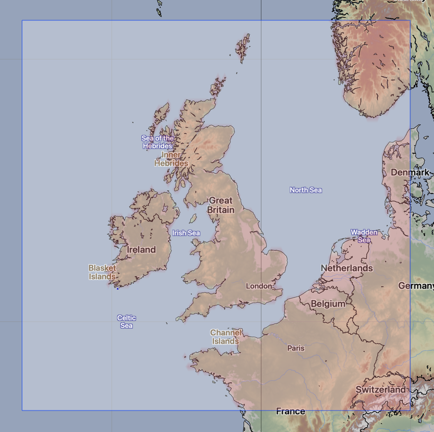
| Model scope: | Northwest Europe |
| Update frequency: | every 24 hours |
| Resolution: | [1.8nm, 3.3km] x [0.8nm, 1.6km] |
| Model duration: | 65 forecasts starting at 15 hrs, ending at 5 days 21 hrs |
| Parameters: | current |
| GRIB model date: | Tue Apr 7 00:00:00 2026 UTC |
| Download date: | Tue Apr 7 17:11:08 2026 UTC |
| Download delay: | 17hr 11min |
Note: the Download delay is the amount of time required for the GRIB model to compute its forecast and then for the LuckGrib cluster to download the data and make it available. The LuckGrib delay is generally less than 10 minutes, the remainder of the delay is the model compute time.
Description
The NW Europe current model is a high resolution model providing hourly forecast data covering the portions of northwest europe. The Copernicus site refers to this model as: Atlantic - European North West Shelf.
This data is generated using E.U. Copernicus Marine Service Information.
The data is made available through the Copernicus service, in NetCDF format, and is converted into GRIB-2 data by LuckGrib.
The NWSHELF_ANALYSISFORECAST_PHY_004_013 is produced by a hydrodynamic model with tides, implemented over the North East Atlantic and Shelf Seas at 1/36 degrees of horizontal resolution and 50 vertical levels. The product is updated daily, providing 10-day forecast …
For additional information, see:
- The Copernicus Marine Environment Monitoring Service
- The Copernicus NW Europe model
- The Copernicus NW Europe product user manual
- CMEMS License
Ocean depths
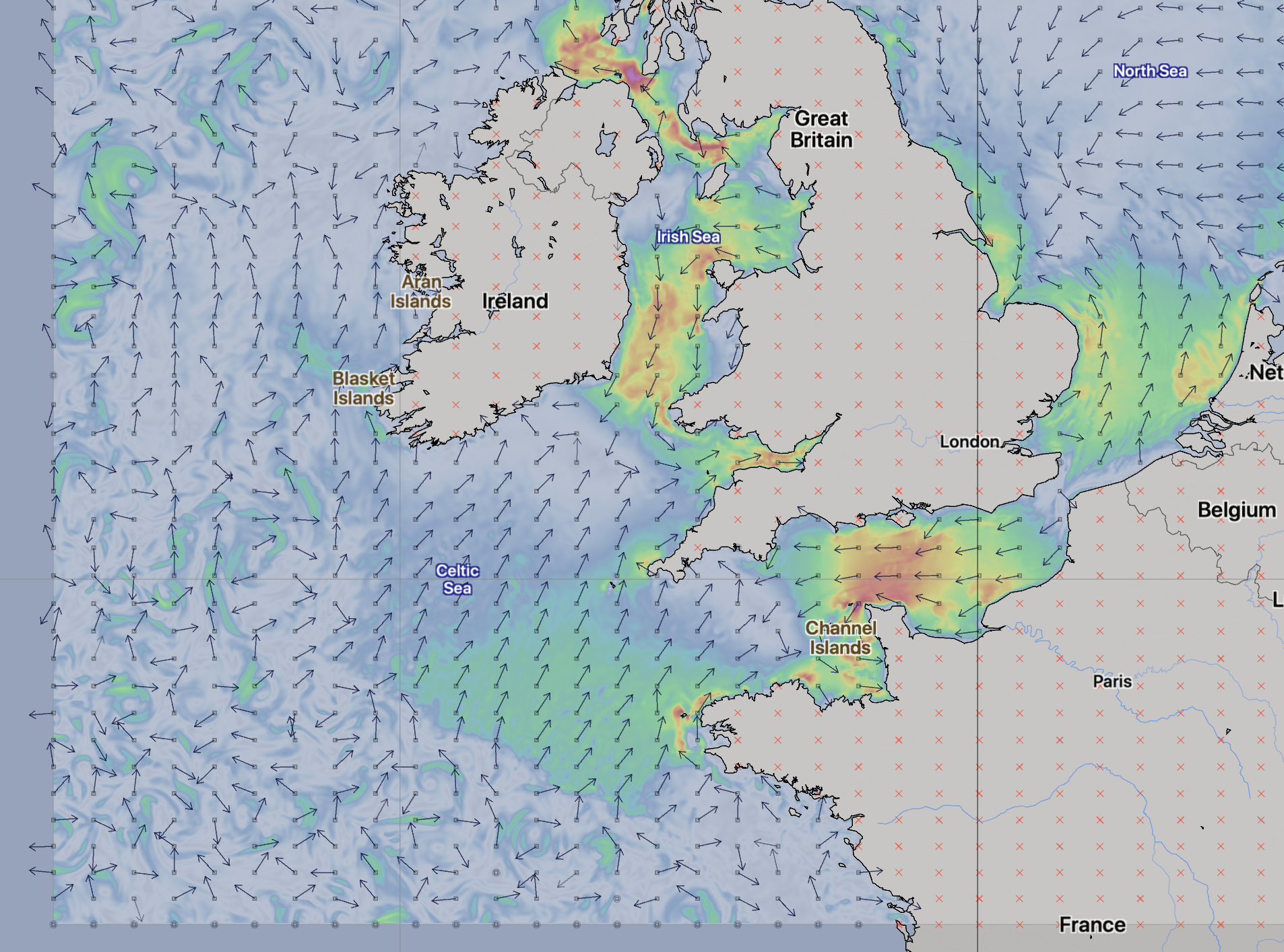
Of note, for the region covered by this model, is that the ocean depths vary a great deal. The image below is taken from the product user manual, cited above:
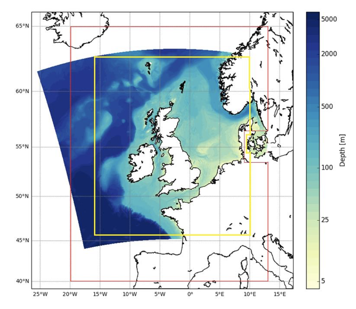 NWS bathymetry in meters. © EU Copernicus Marine Service
Note that the depths in the SW corner of the grid are much greater than the depths in the English Channel. The effect of the waters entering the channel and hitting this shelf can be seen in the GRIB data. A sample of this is shown below.