OFS Lake Ontario Currents
| Provider: | Center for Operational Oceanographic Products (NOAA) |
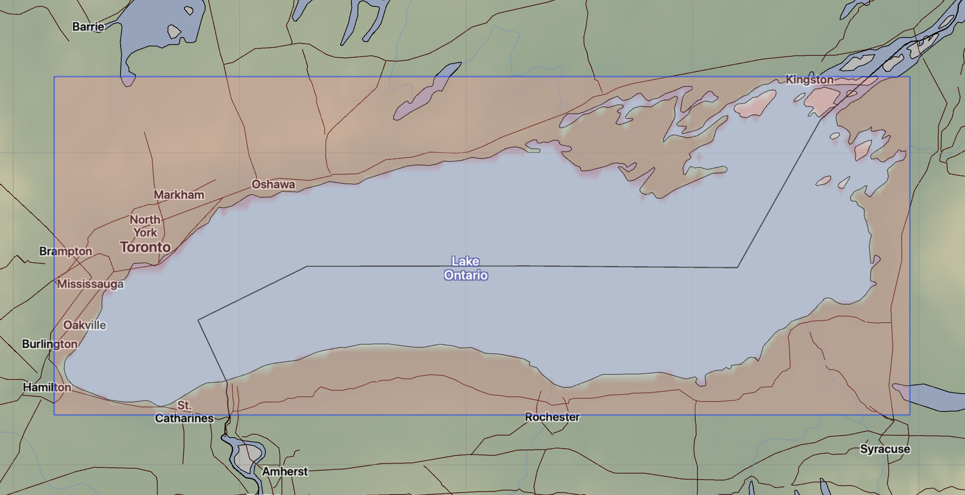
| Model scope: | North American Great Lakes |
| Update frequency: | every 12 hours |
| Resolution: | 0.3nm, 0.6km |
| Model duration: | 49 forecasts starting at 0 hr, ending at 3 days |
| Parameters: | current |
| GRIB model date: | Thu Jul 30 12:00:00 2026 UTC |
| Download date: | Thu Jul 30 17:06:17 2026 UTC |
| Download delay: | 5hr 06min |
Note: the Download delay is the amount of time required for the GRIB model to compute its forecast and then for the LuckGrib cluster to download the data and make it available. The LuckGrib delay is generally less than 10 minutes, the remainder of the delay is the model compute time.
Description
The following text has been taken from the OFS site which describes this model:
The Lake Ontario Operational Forecast System (LOOFS) was jointly developed by NOAA/National Ocean Service’s (NOS) Center for Operational Oceanographic Products and Services (CO-OPS) and Office of Coast Survey (OCS), the Great Lakes Environmental Research Laboratory (GLERL), the NOAA/National Weather Service’s (NWS) National Centers for Environmental Prediction (NCEP) National Central Operations (NCO), and the University of Massachusetts-Dartmouth.
The new LOOFS uses the Finite Volume Community Ocean Model (FVCOM), coupled with an unstructured grid version of the Los Alamos Sea Ice model (CICE), to provide users with higher resolution of nowcast (analyses of near present) and forecast guidance of water levels, currents, water temperature, ice concentration, ice thickness and ice velocity out to 120 hours, four times per day. By invoking advanced model schemes and algorithms, LOOFS is expected to generate a more accurate model output than the former LOOFS, whose model core was the Princeton Ocean Model (POM). Please note that CO-OPS is distributing ice-related products only in a digital NetCDF format. No graphical products are provided.
The NWS and NOS work together to run LOOFS operationally on NOAA’s High Performance Computing System (HPCS). By running on NOAA’s HPCS, LOOFS has direct access to National Weather Service operational meteorological products that are required for reliable operations.
(Note that as of 02/25, lake ice data is not available in the gridded data files that LuckGrib requires in order to be able to convert this data into GRIB format. Therefore, the mention of ice data above does not apply to the LuckGrib version of the model.)
Grid
 https://tidesandcurrents.noaa.gov/images/ofs/loofs_grids.png
The Lake Ontario OFS model is calculated using a bathymetry following irregular grid with over 34,000 nodes. The results of this computation are then sampled, by OFS, into a regular latitude / longitude aligned grid. The data on this regular grid are then converted to GRIB format by LuckGrib.
Additional information
For additional information, see: