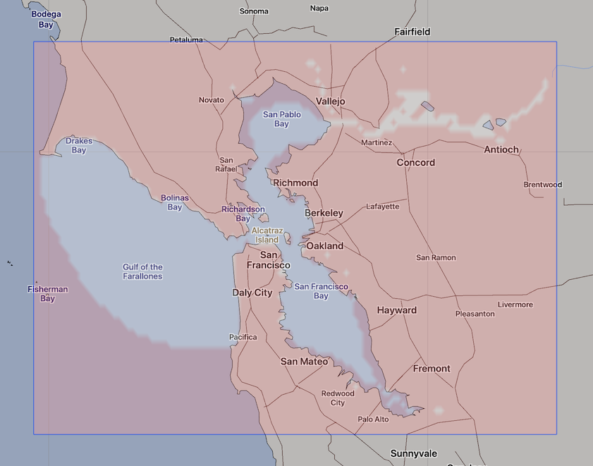
OFS San Francisco Bay Currents
| Provider: | Center for Operational Oceanographic Products (NOAA) |
| Model scope: | North America West Coast |
| Update frequency: | every 6 hours |
| Resolution: | 0.2nm, 0.3km |
| Model duration: | 49 forecasts starting at 0 hr, ending at 2 days |
| Parameters: | current, tide |
| GRIB model date: | Fri Jul 24 15:00:00 2026 UTC |
| Download date: | Fri Jul 24 17:03:48 2026 UTC |
| Download delay: | 2hr 03min |
Note: the Download delay is the amount of time required for the GRIB model to compute its forecast and then for the LuckGrib cluster to download the data and make it available. The LuckGrib delay is generally less than 10 minutes, the remainder of the delay is the model compute time.
Description
The following text has been taken from the OFS site which describes this model:
A San Francisco Bay Operational Forecast System (SFBOFS) has been developed to serve the San Francisco Bay maritime communities. SFBOFS was jointly developed by the NOAA/National Ocean Service’s (NOS) Office of Coast Survey and Center for Operational Oceanographic Products and Services (CO-OPS), and the NOAA/National Weather Service’s (NWS) National Centers for Environmental Prediction (NCEP) Central Operations (NCO) and the University of Massachusetts-Dartmouth. The NWS and NOS work together to run SFBOFS operationally on NOAA’s High Performance Computing System (HPCS). By running on NOAA’s HPCS, SFBOFS has direct access to National Weather Service operational meteorological products and USGS’ measured river data that are required for reliable operations. As its core ocean prediction model, SFBOFS uses the Finite Volume Coastal Ocean Model (FVCOM).
SFBOFS provides users with nowcast (analyses of near present) and forecast guidance of water levels, currents, water temperature, and salinity out to 48 hours, four times per day. [ … ]
SFBOFS is based on a three-dimensional, high resolution model. With the added reliability of running at NOAA’s HPCS, SFBOFS will assist U.S. port authorities and mariners to efficiently navigate the San Francisco Bay without compromising safety.
Grid
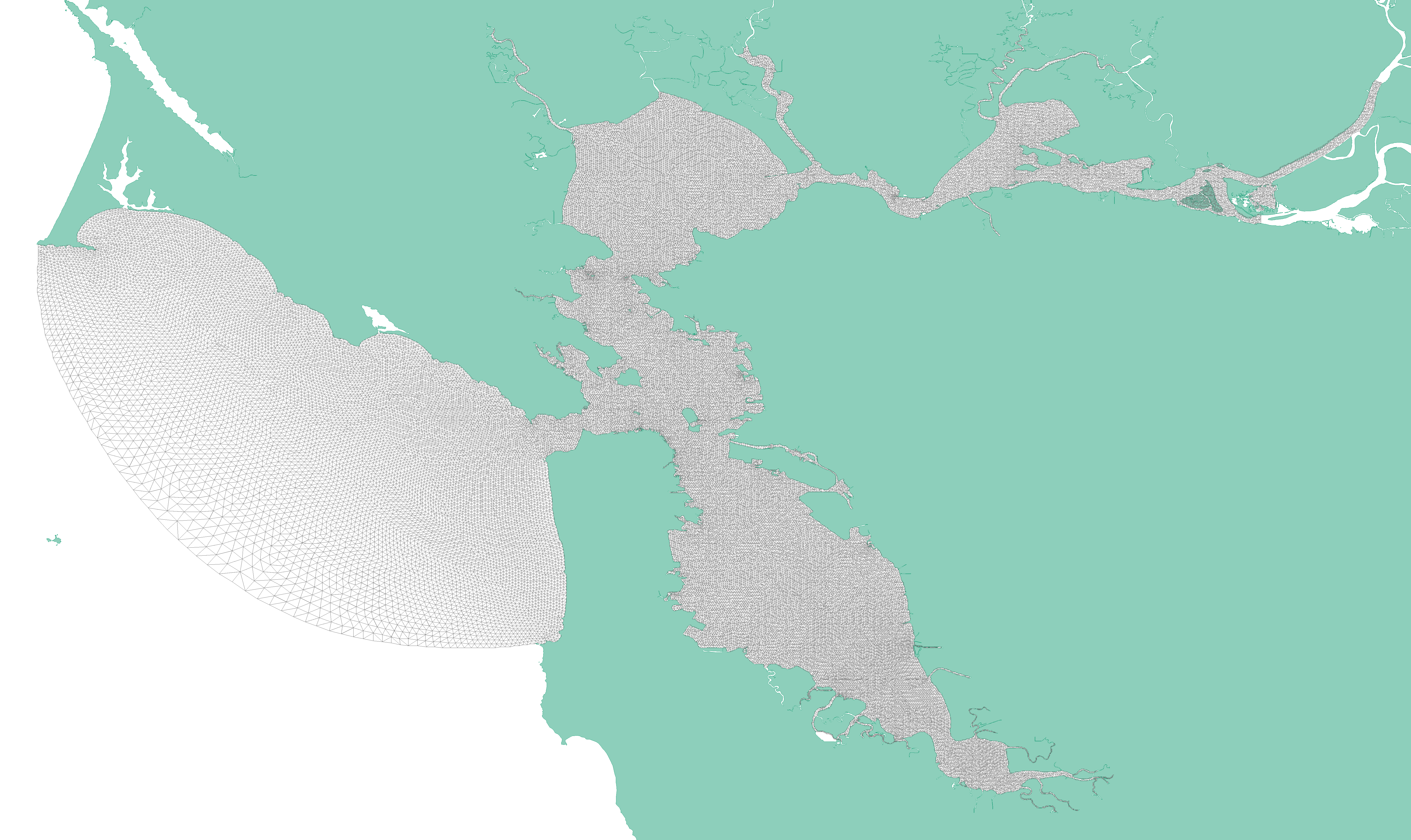 https://tidesandcurrents.noaa.gov/images/sfbofs_grid.png
The San Francisco Bay OFS model is calculated using a bathymetry following irregular grid which has over 54,000 grid nodes. The results of this computation are then sampled, by OFS, into a regular latitude / longitude aligned grid. The data on this regular grid are then converted to GRIB format by LuckGrib.
Additional information
For additional information, see: