Here are a few non-sailing related parameters, included simply for the fun of it.
Precipitable water
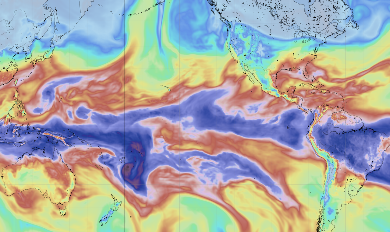
The parameter precipitable water is a measure of the amount of water in a column from the surface to the top of the atmosphere. This is not directly related to rain, although it can be related. If there is no water in the entire column then there can’t be rain, however if there is a lot of water in the column then all we know is that there could be rain. (If you are interested in studying rain at the surface, then you should probably choose a rain parameter…as, well, that’s what its meant for.)
The earths atmosphere is continually trying to equalize things: pressure, heat, etc. As a consequence of this attempt to equalize, other properties of the atmosphere are carried along, such as water. What the image is showing is that the air in the tropics contains a lot of moisture, and as this air circulates, that moisture is carried along and redistributed across the globe. You are seeing patterns of circulation.
Some of you North Americans may have heard the term pineapple express?
Pineapple Express is a non-technical term for a meteorological phenomenon characterized by a strong and persistent flow of moisture and associated with heavy precipitation from the waters adjacent to the Hawaiian Islands and extending to any location along the Pacific coast of North America.
Many areas of the world have their own names for related phenomenon. Another term you may have heard of is atmospheric river. If you have ever been curious about where the rain you may be experiencing is coming from, then precipitable water is an excellent way of seeing it.
Height of the 0° C isotherm
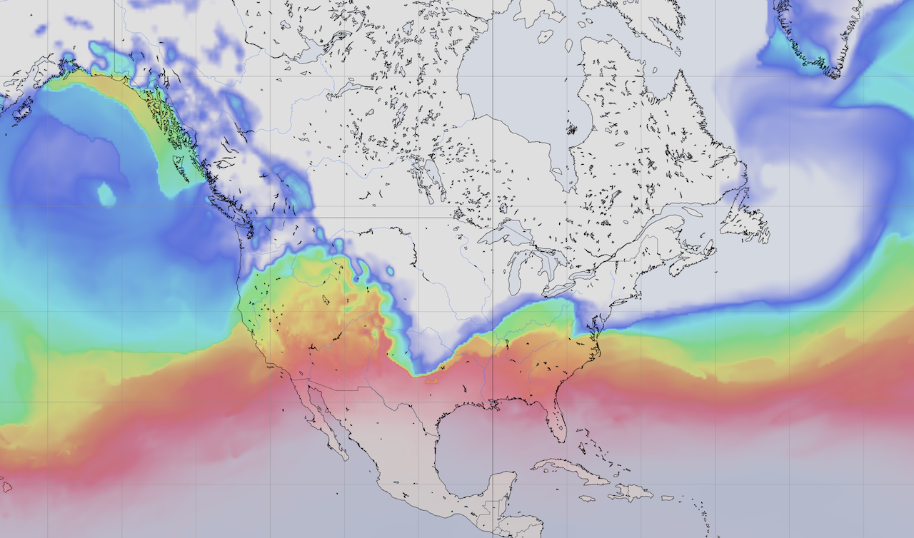
This parameter is showing how high you need to go up from the ground to encounter freezing temperatures. If the area you are in is below freezing, then you need to go up zero meters to encounter freezing (as you are already in freezing conditions.)
I understand (from others) that there is some value in having access to this parameter. Well, here it is.
Dew point
The last new parameter at this time is dew point:
The dew point is the temperature to which air must be cooled to become saturated with water vapor. When further cooled, the airborne water vapor will condense to form liquid water (dew). When air cools to its dew point through contact with a surface that is colder than the air, water will condense on the surface. When the temperature is below the freezing point of water, the dew point is called the frost point, as frost is formed rather than dew. The measurement of the dew point is related to humidity. A higher dew point means there will be more moisture in the air.
Not a meteorologist!
Note that I am not a meteorologist!
Honestly, one of the main reasons I have included these parameters is that from time to time the images they create are just beautiful! Studying weather can be fun!
If you are a meteorologist, please forgive any errors in my description.
Models
These parameters are now available in: GFS, FV3-GFS (the next gen GFS), NAM Conus, HRRR, NAM, and RAP.
Update July 19, 2020.
Here are a few more images, added just for the fun of it.
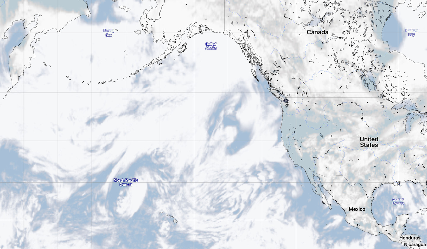 Forecast total cloud (TCDC.)
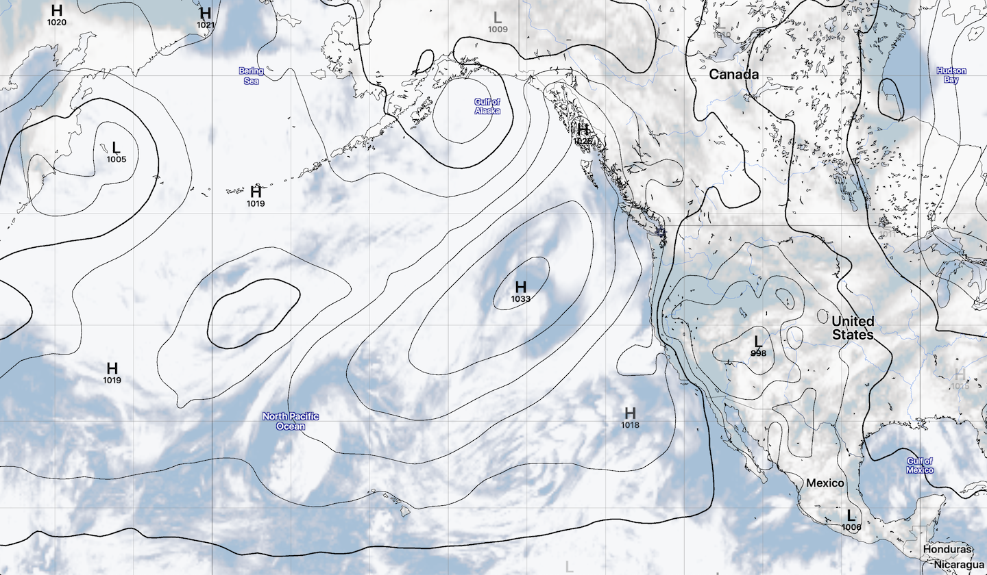 Forecast total cloud and sea level pressure.
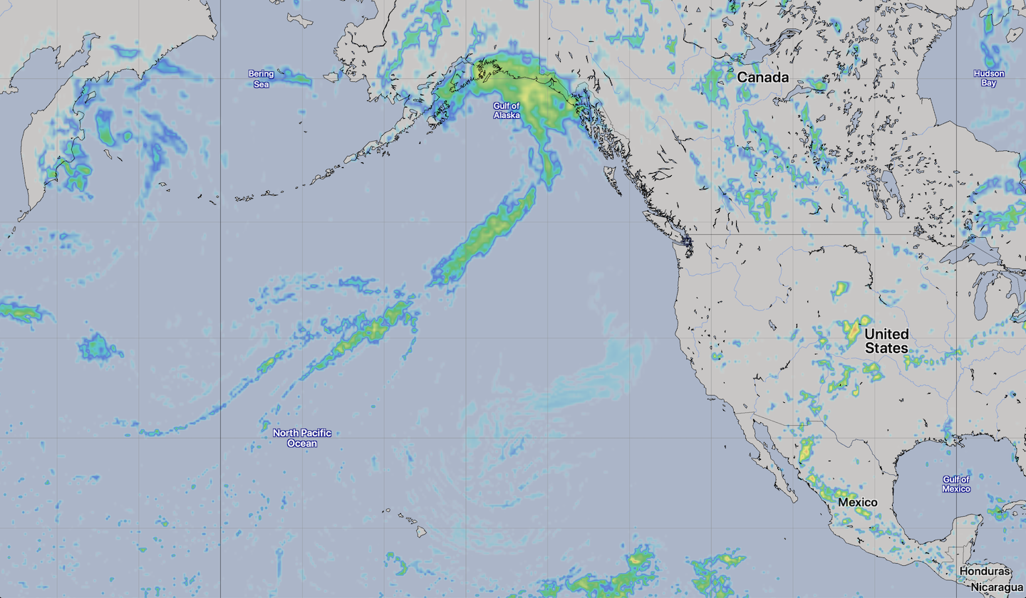 Forecast radar (REFC.)