GFS was updated on March 22nd, 2021, as described in this blog post.
As part of this update, in a rather indirect way, we have gained access to some high(er) resolution GFS wind data.
GFS v16 incorporates the old WW3 wave model, now called GFS Wave. There is a new component of this GFS Wave data which is rather interesting. The new component contains GFS winds at a 1/6th degree resolution. The new LuckGrib model named GFS Ocean Wind is making this higher resolution data available.
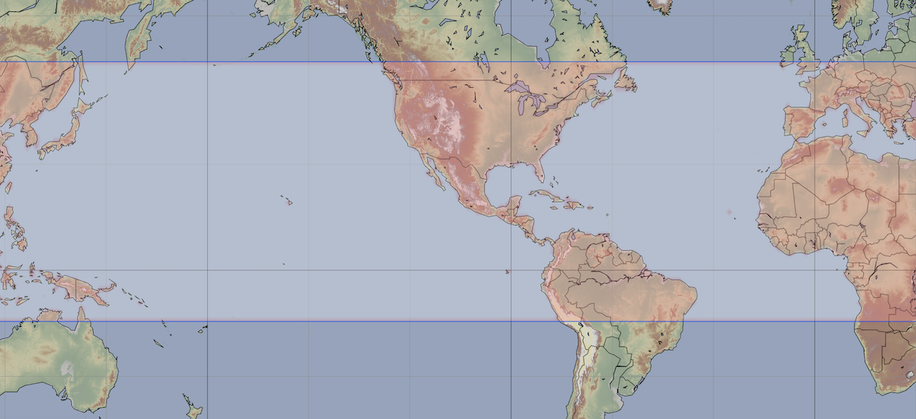
This is a new regional model. It spans the entire globe east to west. Its latitude range is from 15 south to 52.5 north. This covers an interesting area of the world, for many sailors.
While 1/6th of a degree, 0.1666 degrees, is more coarse than, for example, NBM Oceanic, another model with a wide regional coverage, it seems to be worthy of study. Data at every 1/6th of a degree is 50% more than when data is available at every 1/4 of a degree (as in GFS.) 50% is a notable improvement!
Note that GFS wave wind data is only valid over the open ocean. This model is not able to provide wind data over land.
A second note: all of the following information may be in the category of too much information! for most people.
GFS Resolution
As of March 2021, the GFS model is being run, I believe, at a 13km horizontal resolution. 13km is 7 nautical miles. This is roughly speaking, twice the resolution of the data that is made public, 0.25 degrees (approximately 15nm, 28km.) There was some early discussion that the v16 upgrade to GFS would increase internal horizontal resolution to 10km, but that seems to have not occurred (it was dependent on sufficient resources being available.)
The GFS team is not able to make their full resolution data available to the public, as it appears it would overwhelm their systems. From observation, their current systems appear to be straining (03/21) in dealing with the vast quantities of data they are producing and providing to the public. Quadrupling the amount of public data will not be possible until there are infrastructure improvements to their systems.
This is a little annoying - as having access to the higher resolution GFS surface winds would be nice.
GFS Wave grids
The new GFS Wave system is not simply the old WW3 model, migrated over and built into GFS. Many changes to the older WW3 model were made as part of this upgrade.
In the older model, I believe there were 9 computational grids being used to cover the global domain. The results from all of these grids were combined into the one large grid. Most services which provided access to WW3 were supplying data from the global grid. The resolution of the nine computationsl grids would vary, but was 1/2 degree for most of the world.
The new GFS Wave model has three computational grids: a grid covering the arctic, a mid latitude grid and a southern grid below 10 S. The domain of this new model, GFS Ocean Wind, corresponds to the mid latitude computational grid in GFS Wave.
The GFS Wave mid latitude computation grid is at 1/6th of a degree, roughly 16km. As the new GFS Wave model is fully coupled with GFS, it has access to the GFS internal resolution, which is 13km. There is every reason to expect that the winds being produced by this wave model are exposing the higher resolution GFS winds.
GFS high(er) resolution
While it would be nice to be able to simply download global high resolution (13 km) GFS data, that isn’t currently possible.
The GFS wind data obtained from this GFS wave grid appears to be a somewhat round about way of obtaining higher resolution GFS surface wind than is otherwise available.
This model is also providing the primary wave data (height, direction and period.) Sea level pressure is not availble in this higher resolution form, and so is not available here.