LuckGrib version 2.0 available
A new version of LuckGrib is now available.
This version of LuckGrib is the first to obtain its GRIB data from the new high performance server cluster. The server cluster is setup in the cloud and now provides fast and easy access to a wide range of GRIB data.
The server cluster
From version 1.0 of LuckGrib, access to GRIB data has been easy. Easy, but not fast. Patience was required when downloading GRIB data using version 1 of LuckGrib.
With version 2.0 of LuckGrib, a new server cluster has been created, in the cloud. This server cluster speeds up downloads dramatically. The server cluster performs two main tasks:
the server cluster constantly monitors the sources of GRIB data, looking for new data to appear. When new data appears on one of the remote sites, the cluster will download the data, distribute it amongst the cluster, and then make it available to clients of LuckGrib
the second main task the cluster performs, is, of course, to respond to requests for GRIB data
As part of the services that the server cluster offers, you can download data for only in a certain region of interest (subsetting.) You also have control over the resolution of the downloaded data - you are not forced to accept the data at the resolution that the model provides (undersampling.)
The ability to have the cluster undersample the download data can be very useful if you are working in an area with slow, or expensive, internet. For example, the global GFS data is offered at eight resolutions, varying from 0.25° to 3.0°. A course resolution may be sufficient when looking at large regions, if you do not have access to high speed internet.
Access to GRIB Data
From version 1.0 of LuckGrib, there has been easy access to several GRIB models, including GFS, CMC and the WW3 ocean model. LuckGrib is unique in offering access to the complete GFS and CMC models, with over 300 parameters available in the GFS model.
When using version 2.0 of LuckGrib, you can now obtain data from two sources:
directly from the LuckGrib server cluster
directly from a NOAA server
For most of the time, you will want to use the new high performance server cluster when obtaining GRIB data. This new service will give you access to over 30 GRIB models, some global, some regional. However, if you want access to the complete GFS model, you are still able to use the original method to do this. Nothing has been lost with the introduction of the new server cluster
The new server cluser will be where the vast majority of people will obtain their data - and they have access to a fantastic new collection of GRIB models, both global and regional.
There are now: two global weather models, GFS and GDPS; two global wave state models, WW3 and DWD Wave; and two global ensemble models, CMC and GEFS. Access is also provided to a special resource, the ASCAT data, which is wind data across the oceans as measured by satellites.
In addition to the global models, there are a lot of exciting new regional models. Typically, the regional models will be available at a higher resolution than is available with the global models and often the regional models are also available with more frequent updates. An interactive tool available in LuckGrib called the Grib Model Explorer can be used to visualize the regional areas of each model as well as explore other details.
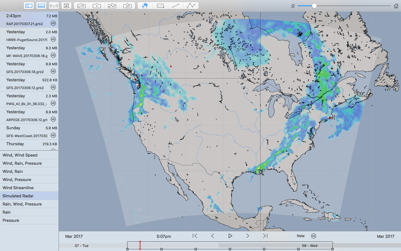
One example of a new regional model is the HRRR model, which covers part of North America, is updated every hour and is available at a 3km resolution, or roughly 0.027°, approximately 10x greater resolution than the finest offered by GFS. This can be a huge advantage if you are sailing in areas that are close to land, where the additional resolution greatly helps, or when following severe or quickly moving weather systems when both the high resolution and more frequent updates are critical.
Browse through the GRIB Models area of this site for more information on which models are available.
Many, many other improvements
There are a great many other changes, in addition to those mentioned above, some subtle, some not.
One new feature is that LuckGrib now supports the ability to auto zoom. When downloading high resolution models, you will not want to see all of the data points when looking across a wide area - doing so would cause some details to shrink to the point they would not be visible as well as slowing performance greatly. As you zoom in and out of the map, the application will automatically choose a resolution to present the data, so that as you zoom into an area additional informtion is exposed and presented. As you zoom out of an area, information is hidden and the application remains responsive
Feedback welcome
As always, the author welcomes feedback. If you have suggestions for changes you would like to see in this application, please let him know.
If you have used LuckGrib and enjoy it, please leave a comment on the Apple App store. Comments are read by people who are new to the software and are greatly appreciated.